Don't miss our webinar on June 08, 2022 !

We map damaged areas to provide greater advantages in costs and response times.
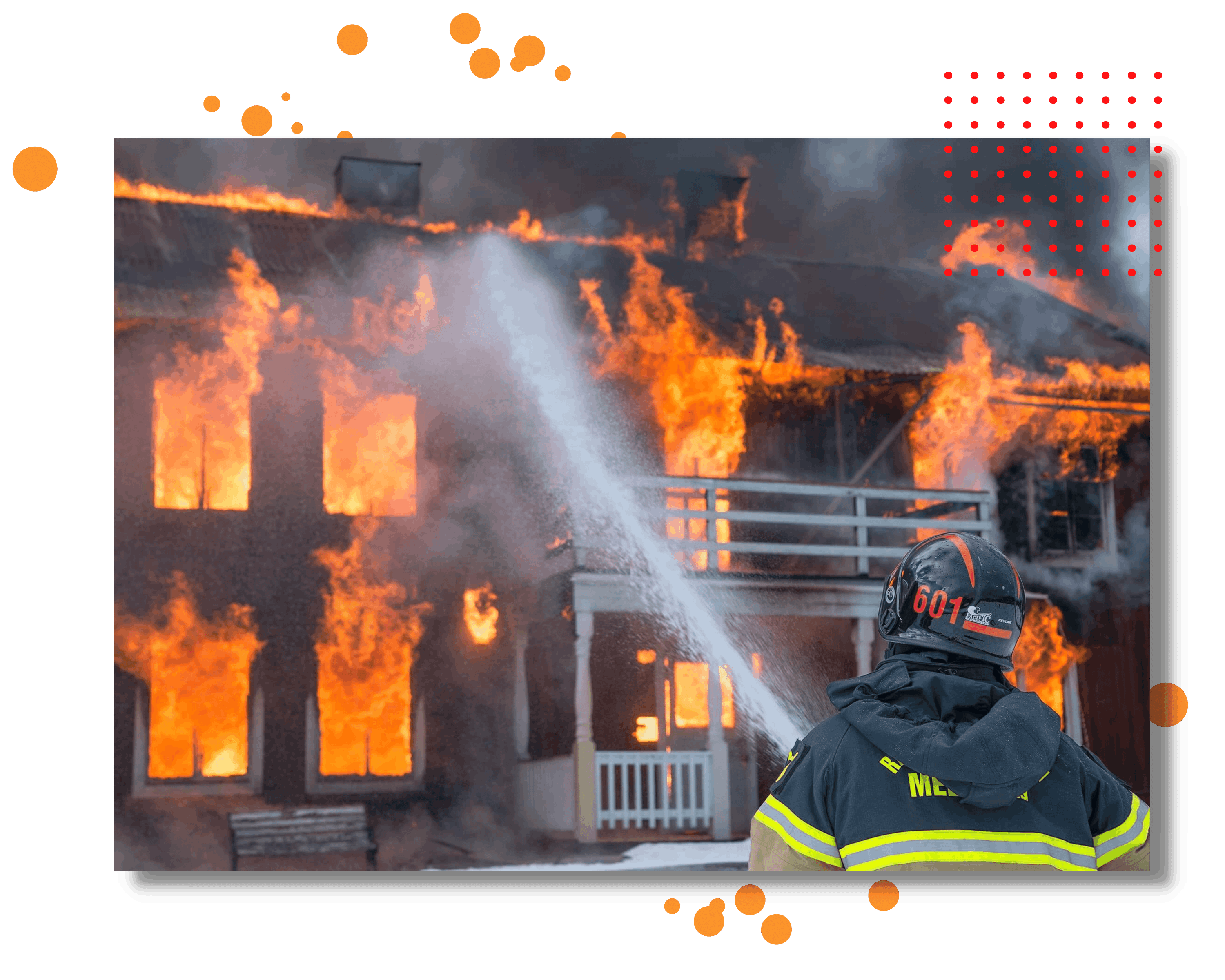
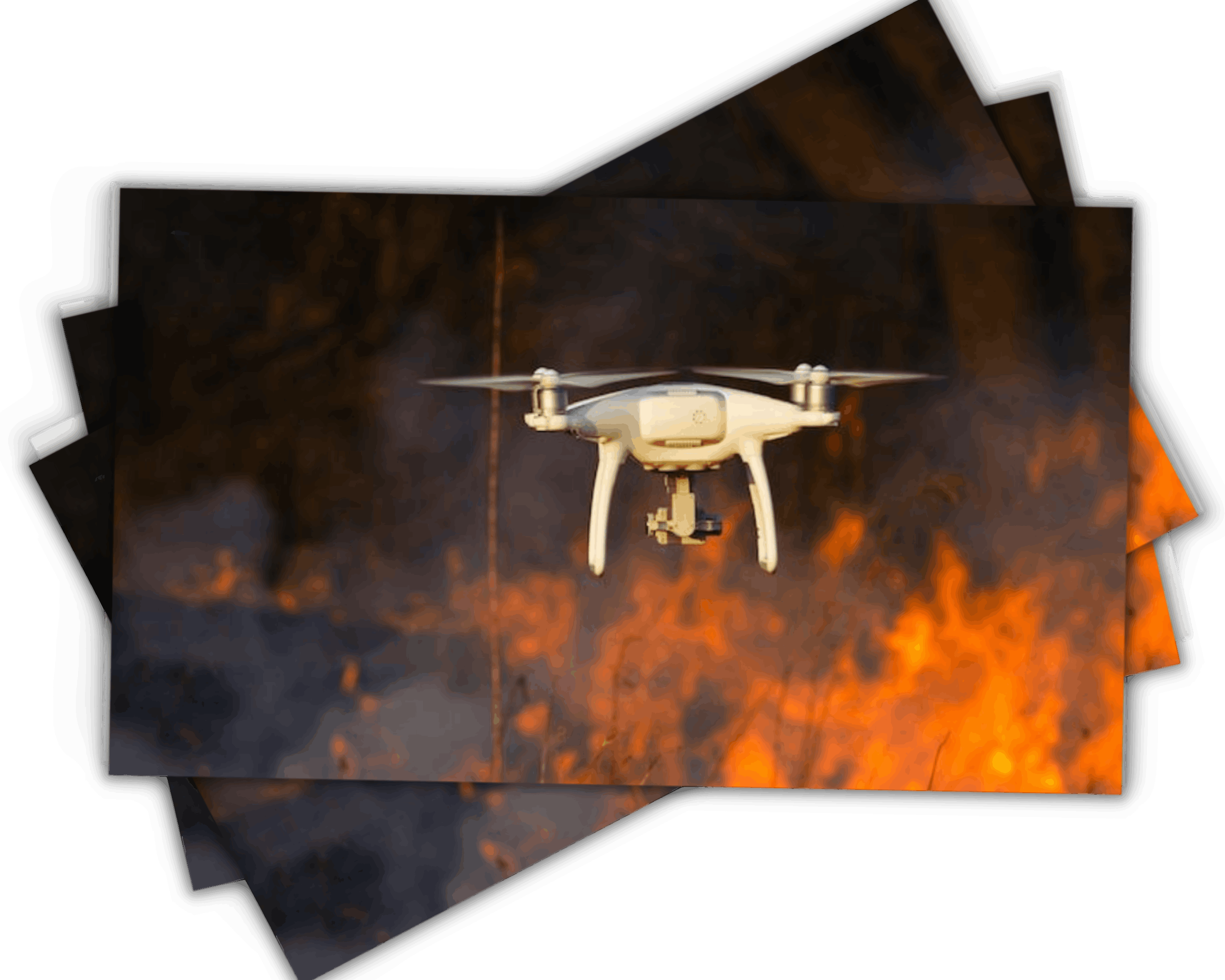
Aerial support for emergency personnel on the ground.
Provide rapid situational awareness for better decision making.
Help firefighters identify hot spots and assess property damage in real time.
Search for survivors.
We create a 3D digital representation of the damaged areas that served as a single source of truth, removing the need to rely on physical field visits in order to assess losses.
Quicker initial loss evaluation.
Create before / after maps of the impacted area.
More effective deployment of Loss Adjusters.
Faster estimation of losses with 2D and 3D measurements techniques in our web based platform for teams working from anywhere at anytime.
SACAM is a car dealership company. They called upon us for the loss assessment following a fire in one of their warehouses.
In 24 hours,We create a 3D digital representation of the interior and the exterior of the damaged areas. This helped them to identify the root cause of the fire, to evaluate the losses remotely and safely using the digital record and it serves actually as the single source of truth for all the stakeholders.
Let’s our solutions empower your team and impress your customerss
Get Started Now

